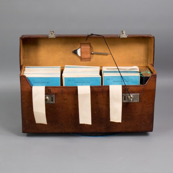
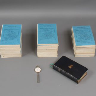
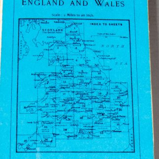
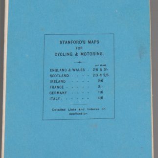
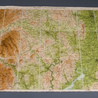
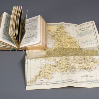
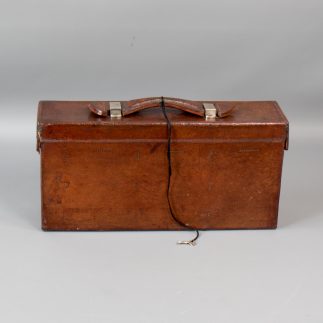
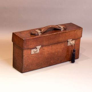
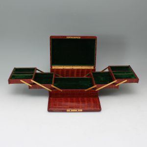
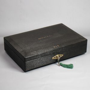
A Leather Cased set of 35 cloth backed Bartholomew's Road Maps of England & Wales in colour C1915 numbered 1-37 (no's 32 & 33 are missing), published by Edward Stanford, 12, 13, & 14 Long Acre, London W.C. This is a particularly early set as postal district numbers were not introduced until 1917.
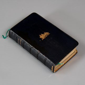
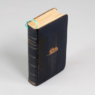
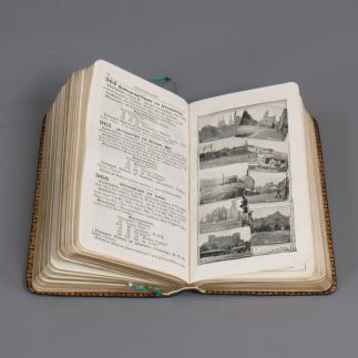
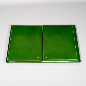
A rare extra item included in the case is a Morocco Leather Bound Volume entitled 'Contour Great Britain' published by Gall & inglis in 1905. It gives descriptions and gradients of all the roads connecting towns, cities & places in England, Scotland & Wales, and is profusely illustrated with line drawing & contemporary photographs.
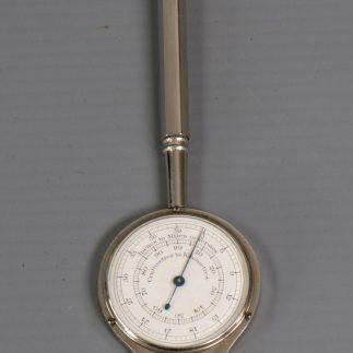
The original map measuring device is included, and the locks retain the original key.
Weight 5.45 kg
Size 41 x 11 x 20cm

